The Coast Fork Willamette River is one of two forks that unite to form the Willamette River in western Oregon in the United States. It is about 40 miles (64 km) long, draining an area of the mountains at the south end of the Willamette Valley south of Eugene.
Course
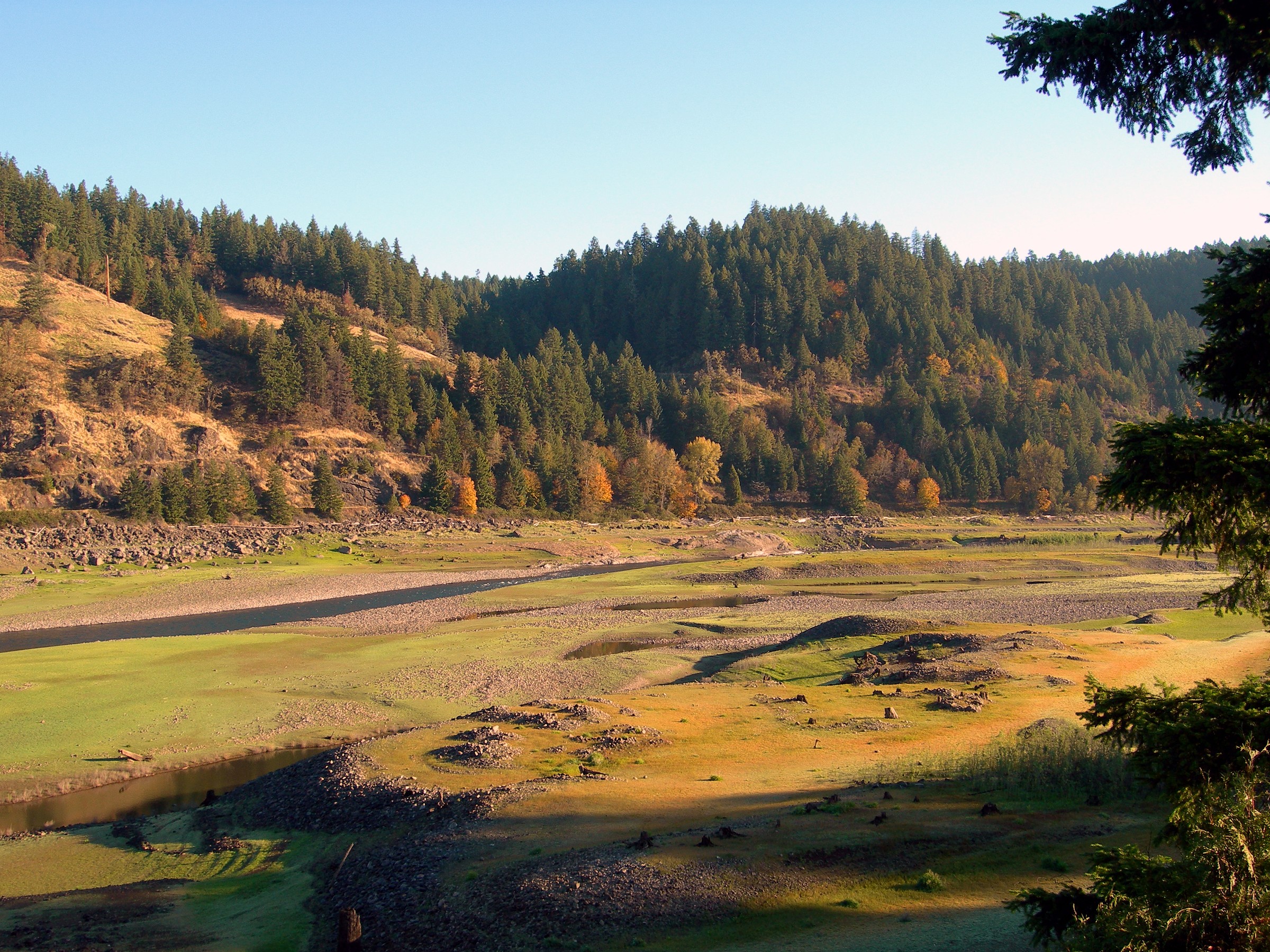
The Coast Fork Willamette River is formed in southwestern Lane County, in the Calapooya Mountains, by the confluence of the Little River and the Big River. The Coast Fork flows north through the mountains, through the Cottage Grove Lake reservoir, to Cottage Grove, where it receives the Row River from the southeast. It continues north past Creswell and joins the Middle Fork from the south, about 2 miles (3 km) southeast of Eugene, to form the Willamette.
See also
- List of rivers of Oregon
- Willamette Riverkeeper
References
External links
- Media related to Coast Fork Willamette River at Wikimedia Commons